National Geographic
Gallery
Attributes
Distributor offers
| Seller | SKU | MOQ | In stock | Multiple | Prices |
|---|---|---|---|---|---|
| Zoro | G204007871 | 1 | 1 | 1 @ $38.89 | |
 unbeatablesale.com unbeatablesale.com | NGS364 | 1 | -2 | 1 | 1 @ $10.72 |
Related on Amazon
As an Amazon Associate, we earn from qualifying purchases. (paid link) CERTAIN CONTENT THAT APPEARS ON THIS SITE COMES FROM AMAZON. THIS CONTENT IS PROVIDED 'AS IS' AND IS SUBJECT TO CHANGE OR REMOVAL AT ANY TIME.

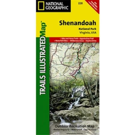
Shenandoah National Park Map (National Geographic Trails Illustrated Map, 228)
Brand: National Geographic Maps
Details
- Printed on �_oBackcountry Tough�__ waterproof, tear-resistant paper. Full UTM grid helps with GPS navigation. Includes mileage between intersections and key points of interest, such as campgrounds, visitor centers, and lookout towers.
- Wilderness areas. Rapidan Wildlife Management Area. Overall Run, Whiteoak Canyon, Cedar Run, Rose River, Dark Hollow, Lewis, South River, Doyles River, and Jones Run Waterfalls.
- Cities Front Royal, Waynesboro, Harrisonburg, Shenandoah, Elkton, Grottoes, and Charlottesville. George Washington National Forest. The Appalachian Trail.
- Shenandoah River. Skyline Drive. .
- Measures 25.5 in. by 37.75 in. when flat. Folds up to 4.25 in. by 9.25 in.
Listing
| Binding | Map |
|---|---|
| Product group | Book |
| Product type | ABIS_BOOK |
| Model | NatGeo Maps: Trails Illustrated |
| Part number | TI00000228 |
| Items per pack | 1 |
| Label | National Geographic Maps |
| Manufacturer | National Geographic Maps |
Catalog
| Feature | Approximately 4 1/4" x 9 1/4" folded; 25.5" x 37.75" fully opened |
|---|---|
| Category | Books |
| MPN | TI00000228 |
| UPC | 749717012288 |
| EAN | 9781566953658 |
| Product group | Book |
| Product type | ABIS_BOOK |
| Manufacturer | National Geographic Maps |